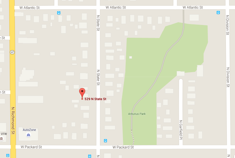
I like to challenge myself in new ways of looking at the genealogy search, and the tools that are at hand, most often these days, the tools available to me from the comfort of my own home and computer. As I pondered how I wanted to expand on the information about Peter’s house on State Street to include in my book about the Fassbenders, I wondered how far back I could trace the property. Now I know that I could have jumped into the car and driven the ten minutes downtown to the courthouse, walked in, and asked for all they had on 529 North State Street, but that would have been almost too easy, and kinda rude. And because it was early on a Sunday morning and I was still in my robe, it wasn’t going to happen. So I did the next best thing, and turned to FamilySearch. As I have mentioned before they have in their collection, available for browsing, a large segment of the early deeds for Outagamie County. I started in 1901 and moved backwards.
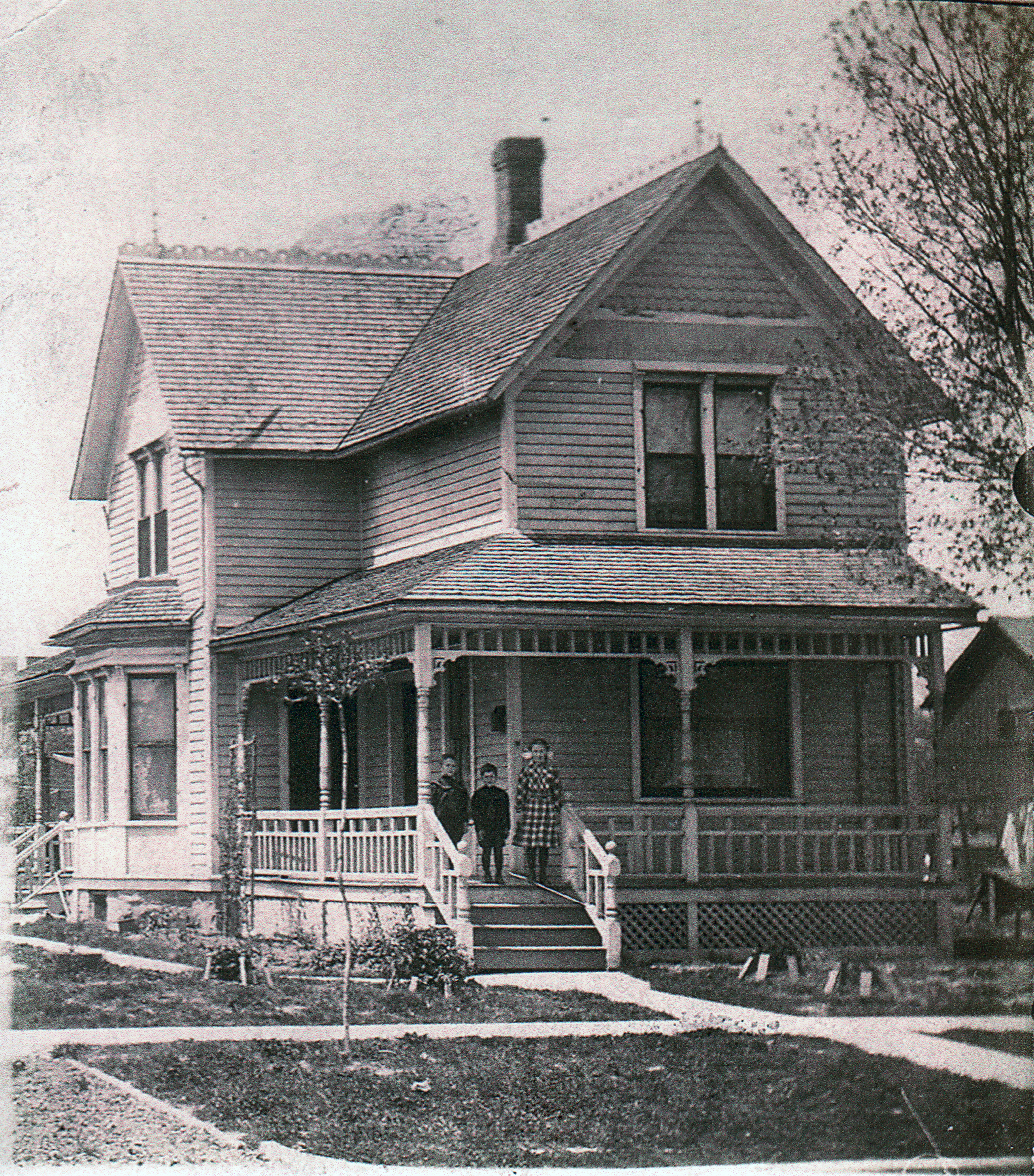
Peter Fassbinder (sic) purchased the home from Peter Miller on April 17, 1901. [1] The purchase price was $1,600.00. Moving in to town after having lived almost 40 years on acreage, and wide open spaces, he now lived on a lot 60 X 123, “more or less.” This had to be quite the adjustment, and a huge change in the way that they lived. What caught my eye on this Warranty Deed was the phrase: “…according to John Stephens map of the City of Appleton, published in the year 1872.” John Stephens had mapped this parcel as Lot 14, in Section 26. The piece that Peter purchased was the North 60 feet, of the South 300 feet of Lot 14. So, it would appear that Lot 14 had been divided into two parcels of land by 1901.
According to the City of Appleton, a home was built on this lot in 1894. (Still kicking myself that I had not noticed that this home sadly went into foreclosure in August 2012. It would have been so much fun to make this house special again.) Knowing the year the house was built, I was pretty confident that Peter Miller was the owner who had built the home – just seven years old when Peter and Elizabeth purchased it, and moved to Appleton.
Moving backwards, I discovered that Peter Miller had purchased the lot from B. W. Robeling on September 18, 1893, paying $475.00 for this unimproved piece of land. [2] Looking at the City Directory for 1893, I found no listing for Peter Miller, but found William B. Robeling residing in Brigg’s House. My next step was to discover how long W. B. Robeling had owned the property.
B. W. Robeling (As I type Robeling, I can’t help but think rambling. Which I hope I am not doing). B. W. Robeling purchased ALL of Lot 14, excepting the south 240 feet, from Mathias and Christina Gross on May 29, 1893, for $500.00. The lot size listed was 123.19 from State Street more or less, and 123 more or less in depth. [3]
It was time to search for the John Stephens map of 1872. I was pleasantly surprised that I could view this map in my robe, and without a drive to the library. It was online! This section of Appleton in 1872 looked very different than it does today, a side by side comparison with Google was needed.
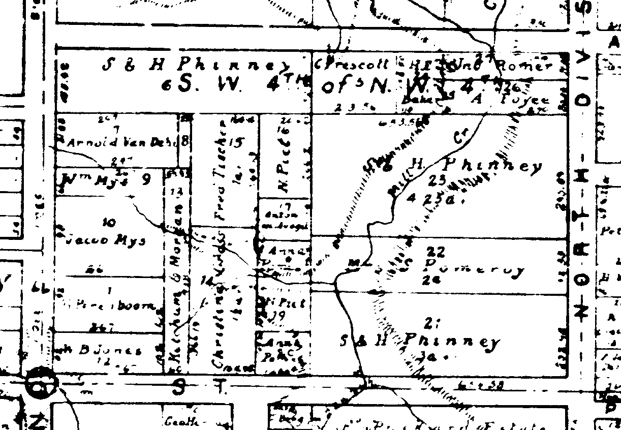
It is now apparent just how large this original parcel of land was. Lot 14 is just above the “T” at the bottom of the original map. The road that would eventually cut through this parcel, and is just visible below the “T” is unnamed on this map.
I think that I will stop this post with the Robeling purchase, stop my rambling, and continue with another post soon. Unless I have lost you all together.
SOURCES:
- “Wisconsin, Outagamie County Records, 1825-1980,” images, FamilySearch (https://familysearch.org/pal:/MM9.3.1/TH-1942-22094-50055-67?cc=1463639 : accessed 12 March 2016), Land and Property > Deed record, 1900-1901, vol. 103 > image 586 of 663; Outagamie County Courthouse, Appleton.
- “Wisconsin, Outagamie County Records, 1825-1980,” images, FamilySearch (https://familysearch.org/pal:/MM9.3.1/TH-1951-22094-31835-88?cc=1463639 : accessed 12 March 2016), Land and Property > Deed record, 1893, vol. 83 > image 587 of 645; Outagamie County Courthouse, Appleton.
- “Wisconsin, Outagamie County Records, 1825-1980,” images, FamilySearch (https://familysearch.org/pal:/MM9.3.1/TH-1942-22094-30335-60?cc=1463639 : accessed 12 March 2016), Land and Property > Deed record, 1893, vol. 83 > image 280 of 645; Outagamie County Courthouse, Appleton.

